This storm is far from being just background noise. It’s a route killer, and you need to pay attention on the roads. The Pineapple Express-style atmospheric river hammering California has already forced major closures, and the ugly part is how fast the map can change once flooding and debris start moving.
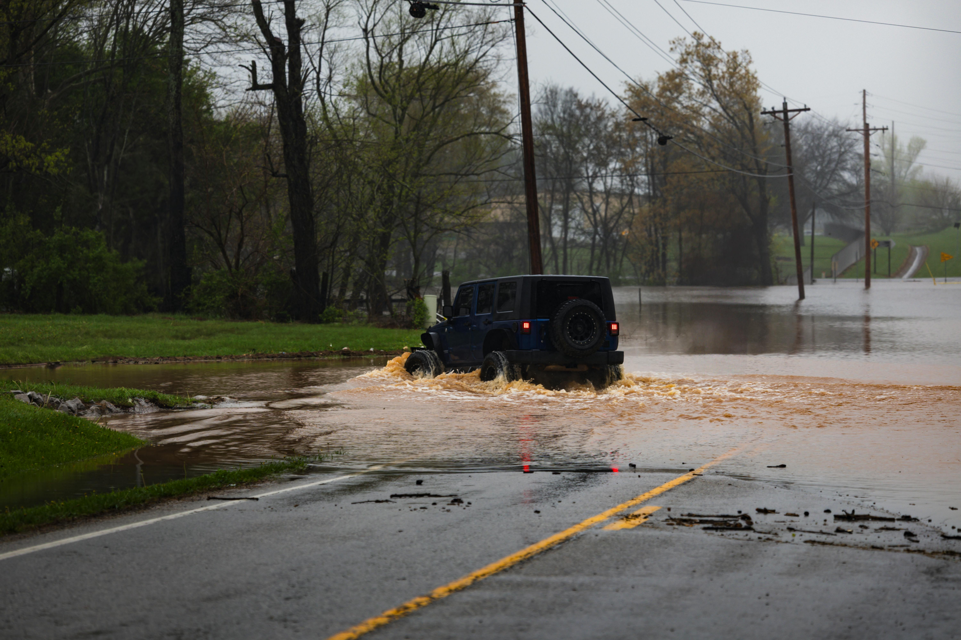
Photo by Owen.outdoors: https://www.pexels.com/photo/jeep-navigating-through-flooded-roadway-31560723/
If you drive today, you need a plan that survives a hard closure, a surprise washout, and the kind of “emergency work” that turns into an all-day shutdown. This is your one-stop update for what’s closed now and where closures tend to spread next.
What’s Closed Now and Where Closures Can Spread Next
The headline closure for a lot of Southern California drivers is Topanga. Caltrans lists State Route 27 closed from PCH (SR-1) to Grand View Drive around the clock, with the closure scheduled through early December 28 due to emergency work. That’s a polite way of saying crews are dealing with storm damage and they don’t want you anywhere near it. Check the latest status on Caltrans’ SR-27 road conditions page before you assume any canyon route is “probably fine.”
In the mountains and foothills, the storm has already done the kind of damage that doesn’t clear in a few hours. Caltrans lists multiple closures on SR-138 in San Bernardino County. One segment is closed between Beekley Road and the I-15 junction due to flooding. Another segment is closed from I-15 to near Summit Valley Road due to a washout. That second one matters because a washout is real road failure, not just standing water. For the most current segments and detours, use Caltrans’ SR-138 road conditions page.
Los Angeles County has also gone proactive with canyon closures that often look “driveable” right up to the moment they become a trap. County Public Works announced closures that include Malibu Canyon Road, Tuna Canyon Road, Chantry Flat Road, and Glendora Mountain Road in advance of the worst conditions. These are exactly the roads that take the hit first when runoff turns into rock and mud. The county’s list is in this LA County Public Works update.
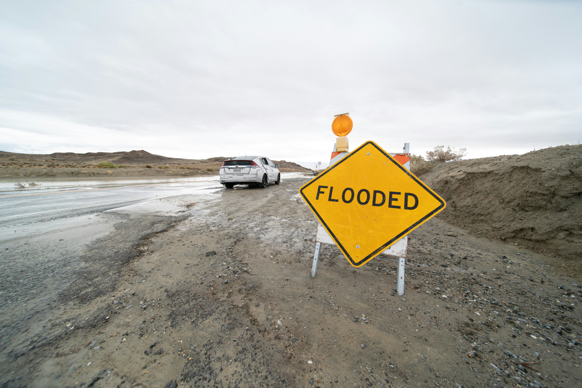
Photo by Brian Wangenheim on Unsplash
Projected closures are the part nobody loves because they don’t follow a clean schedule. They follow the rain bands. When the next heavier burst hits, closures usually spread in three places: steep canyon routes, burn-scar slopes, and low spots that flood fast, including underpasses and creek crossings. If you’re heading toward the coast, mountains, or any canyon shortcut, expect stop-and-go conditions, lane reductions, and sudden “turn around” moments even if your GPS looks confident.
My Verdict
If you have to drive, treat today like the road network is unstable, because it is. Check conditions right before you leave, build a second route that avoids canyons, and don’t gamble on standing water. If a closure forces a detour, take it early. Waiting until you’re already boxed in is how you end up stuck, soaked, and watching your day disappear.
from Men's Journal https://ift.tt/PVDOpu4
via IFTTT
Comments
Post a Comment